


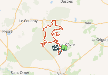
forêt du Gavre VTT 38 km

Lobin
Gebruiker

Lengte
37 km

Max. hoogte
67 m

Positief hoogteverschil
365 m
Km-Effort
42 km

Min. hoogte
23 m

Negatief hoogteverschil
365 m
Boucle
Ja
Datum van aanmaak :
2016-10-30 00:00:00.0
Laatste wijziging :
2016-10-30 00:00:00.0
2h54
Moeilijkheid : Gemakkelijk

Gratisgps-wandelapplicatie
 SityTrail
IGN / Geografische instituten
SityTrail Plus
De wereld gaat voor u open
Over ons
Tocht Fiets van 37 km beschikbaar op Pays de la Loire, Loire-Atlantique, Le Gâvre. Deze tocht wordt voorgesteld door Lobin.
Beschrijving
randonnée vtt en forêt
Plaatsbepaling
Land:
France
Regio :
Pays de la Loire
Departement/Provincie :
Loire-Atlantique
Gemeente :
Le Gâvre
Locatie:
Unknown
Vertrek:(Dec)
Vertrek:(UTM)
592953 ; 5262082 (30T) N.
Opmerkingen